

- Joined
- Sep 25, 2019
- Messages
- 221
- Reaction score
- 133
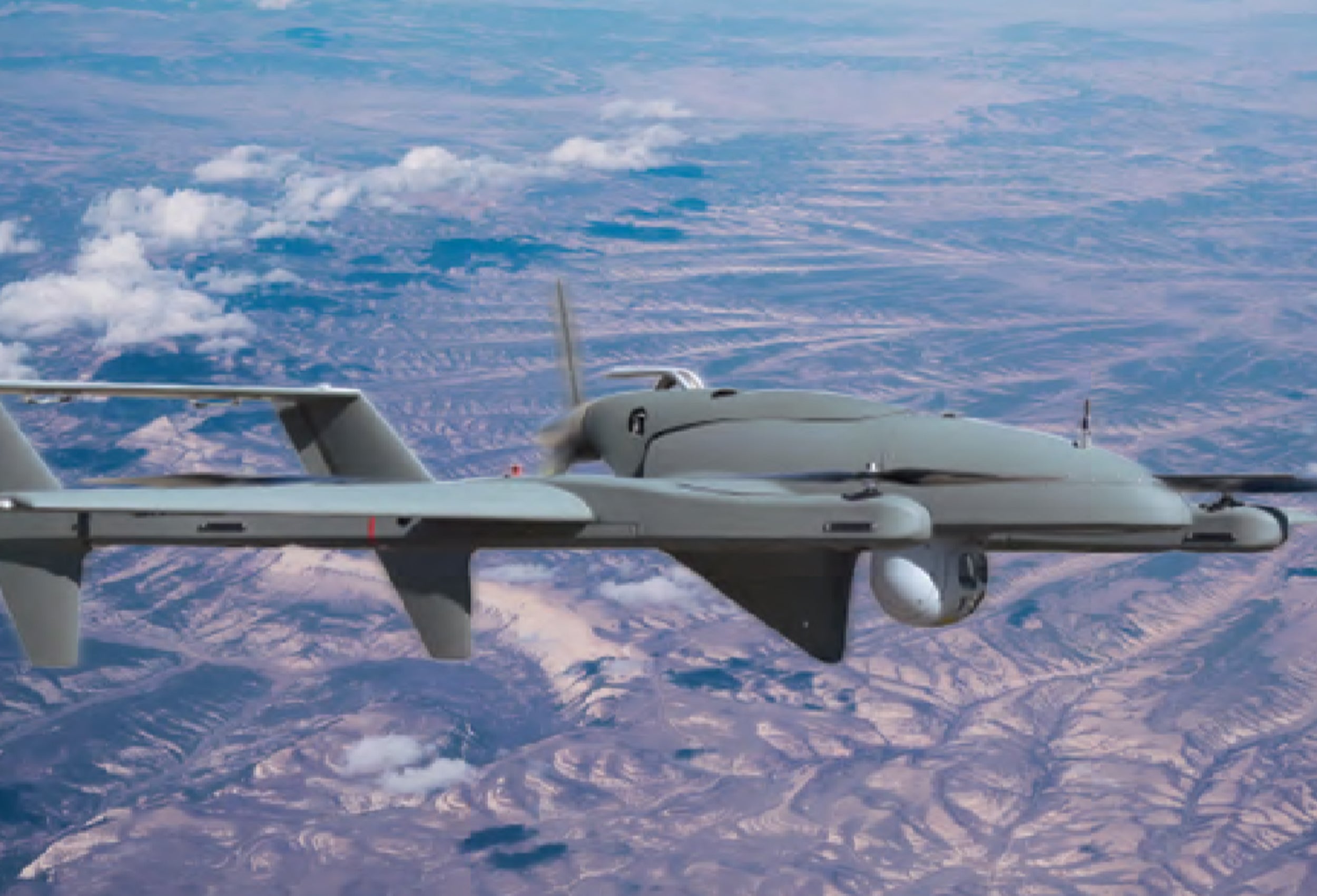
This interesting model is currently being used to map the El Dorado fire in Southern California, It is over a six hour mission time capability. Interesting design with the four vertical electric VTOL motors.
Manufacturer: L3 LATITUDE ENGINEERING Model: FVR-90
 www2.l3t.com

Manufacturer: L3 LATITUDE ENGINEERING Model: FVR-90
FVR-90 Airframe
An FVR designed for long endurance, 12 to 18 hours, with an 8 to 22 pound payload capacity. This aircraft is intended to demonstrate the excellent endurance achievable with Hybrid Quadrotor™ technology.
Last edited:


