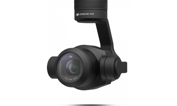
I currently have a Phantom 4 Pro V2 I use for construction mapping. Very happy with the results. I just bought an M200 V1 with an Xs4 lens. I have not had a chance to test it yet. I am wondering if others are using the X4s for map data acquisition and their overall impression
I chose this camera over newer models due to its mechanical shutter. I have it mounted on our M210 RTK V2 and am happy with the results. I usually fly projects at about 125 feet and get data accuracy within a tenth or so. Of course, I'm using surveyed control points and processing contours in ArcMap 3d where I can weed out vegetation and buildings, etc.
I have exactly the same idea I am working with P4P pro V2 but I want to go for matrice M200 or M210 RTK with a Zenmuse X4S so I am curious about feed back on this pair
Looks like the X4S is the best for aerial mapping
I chose this camera over newer models due to its mechanical shutter. I have it mounted on our M210 RTK V2 and am happy with the results. I usually fly projects at about 125 feet and get data accuracy within a tenth or so. Of course, I'm using surveyed control points and processing contours in ArcMap 3d where I can weed out vegetation and buildings, etc.


 Sharing My Music and Sound Effects - Over 2000 Tracks