- Joined
- Nov 30, 2019
- Messages
- 530
- Reaction score
- 282
- Age
- 50
- Location
- Leander, Texas
- Website
- www.admgeomatics.com
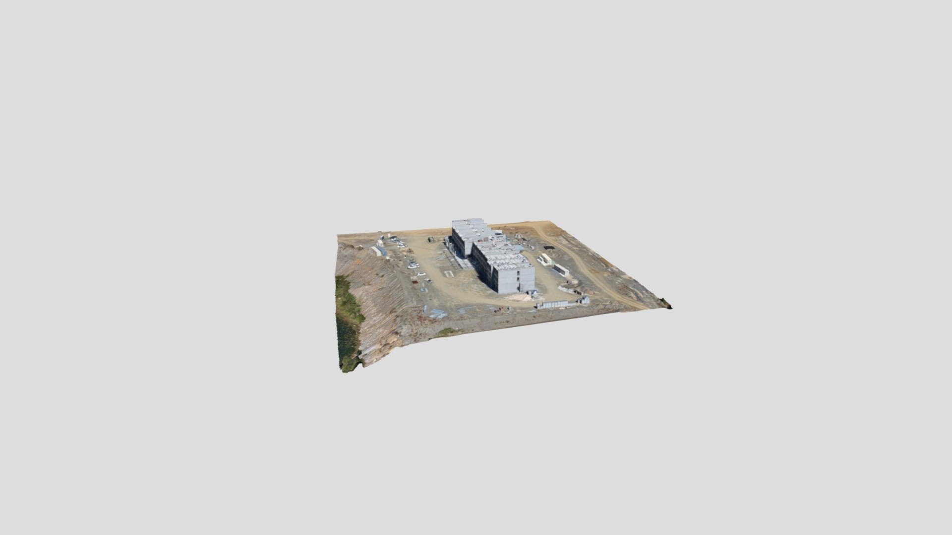
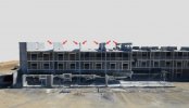
Just wanted to share a project I have been flying this year. I am sure you all like flying around cranes right? This project consists of a map of 230 acre that has to be flown in 3 pieces to maintain VLOS. The entire limits of the current phase is 570 acres! On top of that it is 1/4-mile 10 degrees west of a small airport flight path. This is where the cranes are helpful because manned aircraft typical don't even get close to them. Other deliverables are 24 progress photos, 7 videos and 31 panoramas. All in it takes about 2.5-3 hours of flight. Definitely a top 3 for 2023!
360 Panos on Kuula
View attachment Taylor Industrial 2.JPG
360 Panos on Kuula
View attachment Taylor Industrial 2.JPG
Last edited: