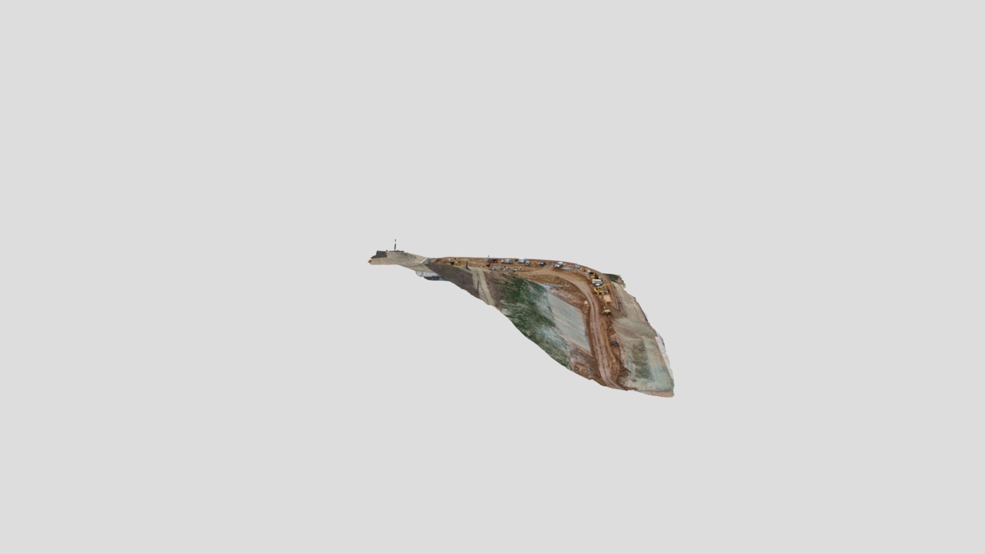
Here's the latest Site Map (3D model) of a every other week project I'm working on. It's def not perfect but it's getting better with each revision:
 sketchfab.com
Sketchfab
sketchfab.com