

You are using an out of date browser. It may not display this or other websites correctly.
You should upgrade or use an alternative browser.
You should upgrade or use an alternative browser.
Drone Deploy/mapping tips
- Thread starter Recoveryone
- Start date

I read that, as my app upgraded Sunday, but I don't see anything in the app itself to change or activate this feature.I just noticed the drone deploy mapping app introduced some terrain following feature. Has anyone tried that yet? My projects often put me over areas where the surface elevation change can be > 100 meters.
clolsonus
Well-Known Member
- Joined
- Feb 22, 2019
- Messages
- 229
- Reaction score
- 148
- Age
- 57
I'm seeing a very cleverly hidden icon next to the flight altitude setting when you plan a route. I've seen it on the web version of the flight planner and at least one of (android, ios) version of the mobile app, not sure if on both?
Yes!!!, I see it, but does not show or give indication if active or not, unless its working all the time.I'm seeing a very cleverly hidden icon next to the flight altitude setting when you plan a route. I've seen it on the web version of the flight planner and at least one of (android, ios) version of the mobile app, not sure if on both?
I thought DroneDeploy did not support on Android and CyrstalSky? Am I wrongI'm seeing a very cleverly hidden icon next to the flight altitude setting when you plan a route. I've seen it on the web version of the flight planner and at least one of (android, ios) version of the mobile app, not sure if on both?
DroneDeploy has always been an Android app, even they released an iOS version.I thought DroneDeploy did not support on Android and CyrstalSky? Am I wrong
It is an android and I think apple, but the Crystalsky device is a closed setup and you are not able at this time to d/l the app. I hope Dji will change that about the CS as I have 2 and it would be nice to use them for mapping with the screen resolution that they provide.I thought DroneDeploy did not support on Android and CyrstalSky? Am I wrong
I flew 4 location yesterday and never was asked about the terrain following mode, I used a Phantom 3 pro and my Mavic 2 pro, so I'm wondering what else or what type of drone may be needed to access this new feature.I'm seeing a very cleverly hidden icon next to the flight altitude setting when you plan a route. I've seen it on the web version of the flight planner and at least one of (android, ios) version of the mobile app, not sure if on both?
adm_geomatics
Well-Known Member
- Joined
- Nov 30, 2019
- Messages
- 546
- Reaction score
- 290
- Age
- 51
- Location
- Leander, Texas
- Website
- www.admgeomatics.com
DroneDeploy supports Android and iOS. Development is initially for iOS. Terrain awareness is available in the web planner and iOS app, but development has not reached Android yet. I have used the Terrain Awareness and it works well, but a tip is to make sure you have a 30ft buffer of the highest elevation as that is the accuracy combined between the drone and the SRTM.
It was an Android app well before they released an iOS version:DroneDeploy supports Android and iOS. Development is initially for iOS.
New Release: DroneDeploy iOS App
Easily Fly Your DJI Phantom 3 or Inspire 1 from Your iPhone or iPad
 blog.dronedeploy.com
adm_geomatics
Well-Known Member
- Joined
- Nov 30, 2019
- Messages
- 546
- Reaction score
- 290
- Age
- 51
- Location
- Leander, Texas
- Website
- www.admgeomatics.com
That's correct, but if you have watched the development over the last 3 years you would see that iOS is the initial target as is with most of the drone related apps nowadays, partially due to the way DJI now releases their SDK's.It was an Android app well before they released an iOS version:
New Release: DroneDeploy iOS App
Easily Fly Your DJI Phantom 3 or Inspire 1 from Your iPhone or iPad
DroneDeploy supports Android and iOS. Development is initially for iOS. Terrain awareness is available in the web planner and iOS app, but development has not reached Android yet. I have used the Terrain Awareness and it works well, but a tip is to make sure you have a 30ft buffer of the highest elevation as that is the accuracy combined between the drone and the SRTM.
So how does the "Terrain Awareness" actually work? If you set Alt for say 90'AGL it uses GPS data to help attempt to maintain 90'AGL? I'm curious how "reactive" it is. Next time I'm mapping I may give it a test in an area with steep elevation changes and see how well (as well as I can determine with my old Optical Orbs LOL) it can react to terrain changes (not trees and poles LOL).
clolsonus
Well-Known Member
- Joined
- Feb 22, 2019
- Messages
- 229
- Reaction score
- 148
- Age
- 57
I haven't flown with this new drone deploy feature yet, but when I turn on terrain following, it appears that the app adds a few more waypoints to each transact of the route to approximate the underlying terrain structure. My best guess is that it is defining the target altitude at these few extra points based on the SRTM terrain height and the requested flight AGL height. So it appears to me that the terrain awareness is handled at the 'cloud' level when the drone deploy app generates the original flight plan. The updated flight plan still tries to minimize the total number of waypoints (I believe there is some small practical # of waypoints an app can upload to a dji quad initially.) I was hoping to test it tomorrow, but the weather report is calling for freezing drizzle and chance of snow showers, so maybe next week if the weather allows it.
adm_geomatics
Well-Known Member
- Joined
- Nov 30, 2019
- Messages
- 546
- Reaction score
- 290
- Age
- 51
- Location
- Leander, Texas
- Website
- www.admgeomatics.com
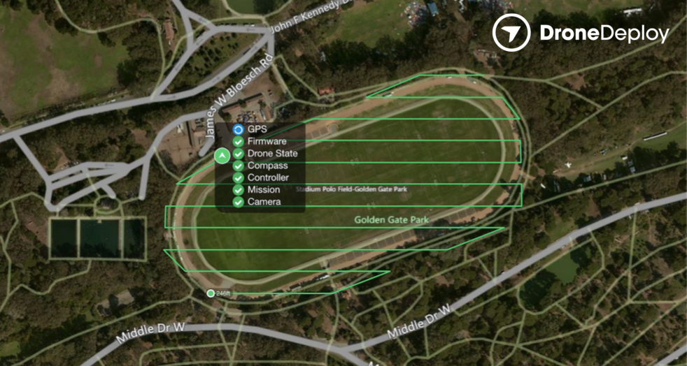
From what I have heard it is using the NASA SRTM and is still using the barometer, but I have a call in to the product manager and will reply again with a more comprehensive answer. It will detect insufficient data, but also if disabled will report a conflict calculated from your entered AGL and the lowest point compared to the highest point of the SRTM.So how does the "Terrain Awareness" actually work? If you set Alt for say 90'AGL it uses GPS data to help attempt to maintain 90'AGL? I'm curious how "reactive" it is. Next time I'm mapping I may give it a test in an area with steep elevation changes and see how well (as well as I can determine with my old Optical Orbs LOL) it can react to terrain changes (not trees and poles LOL).

From what I have heard it is using the NASA SRTM and is still using the barometer, but I have a call in to the product manager and will reply again with a more comprehensive answer. It will detect insufficient data, but also if disabled with report a conflict calculated from your entered AGL and the lowest point compared to the highest point of the SRTM.
View attachment 2061
Ah that makes sense. Now I'm eager to get outside and test it some.
adm_geomatics
Well-Known Member
- Joined
- Nov 30, 2019
- Messages
- 546
- Reaction score
- 290
- Age
- 51
- Location
- Leander, Texas
- Website
- www.admgeomatics.com
Pretty much. Similar to Litchi, but a different SRTM. DroneDeploy has never had a true waypoint mode so it will be interesting to see how it handles very undulating terrain. I know I am limited to 99 points in Litchi. It is currently cloud only and requires a data connection so the offline feature of theirs does not work at this time.I haven't flown with this new drone deploy feature yet, but when I turn on terrain following, it appears that the app adds a few more waypoints to each transact of the route to approximate the underlying terrain structure. My best guess is that it is defining the target altitude at these few extra points based on the SRTM terrain height and the requested flight AGL height. So it appears to me that the terrain awareness is handled at the 'cloud' level when the drone deploy app generates the original flight plan. The updated flight plan still tries to minimize the total number of waypoints (I believe there is some small practical # of waypoints an app can upload to a dji quad initially.) I was hoping to test it tomorrow, but the weather report is calling for freezing drizzle and chance of snow showers, so maybe next week if the weather allows it.
adm_geomatics
Well-Known Member
- Joined
- Nov 30, 2019
- Messages
- 546
- Reaction score
- 290
- Age
- 51
- Location
- Leander, Texas
- Website
- www.admgeomatics.com
I had success with it twice now, but have not had a flight with more than a 50ft elevation change. One of them was a cliff, but I should be able to get a 150-200ft range in the next day or so. Fingers crossed!Ah that makes sense. Now I'm eager to get outside and test it some.


New Posts
-
 Sharing My Music and Sound Effects - Over 2000 Tracks
- Latest: Eric Matyas
-

-

-
-