Welcome, Commercial Drone Pilots!
Join our growing community today!
Sign up

More Drone Use Cases

adm_geomatics

Well-Known Member
Joined
Nov 30, 2019
Messages
460
Reaction score
253
Age
50
Location
Leander, Texas
Website
www.admgeomatics.com
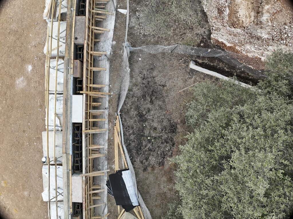
New on the Emlid Community Forum.
 
  • Like
Reactions: AMann
New on the Emlid Community Forum.

I wonder what kind of accuracy their point cloud is versus using LIDAR?
 
New on the Emlid Community Forum.

Thanks for sharing!

I am still not sure how so many people pick Pix4D over Metashape.

My new use for Metashape is using our state LIDAR data to make DEMs (DSM or DTM) for various reasons.
 
  • Like
Reactions: adm_geomatics
Thanks for sharing!

I am still not sure how so many people pick Pix4D over Metashape.

My new use for Metashape is using our state LIDAR data to make DEMs (DSM or DTM) for various reasons.
Well, the #1 reason for not choosing Metashape now is because it has Russian origins, but in my opinion it's marketing. I actually had our IT department tell me that we would never get Metashape because of its origins and it's a "security risk". They had no response when I told them it didn't need to be connected to the internet to work, but protocol is protocol so I just remote into my personal business processing machine... People don't know any better and Pix4D is what was put in front of them. I don't think most people care about understanding the process, they just want it to work and if that is the mindset they will never miss what they don't know is possible.
 

Members online

Forum statistics

Threads
4,388
Messages
38,108
Members
6,197
Latest member
Cummerbund